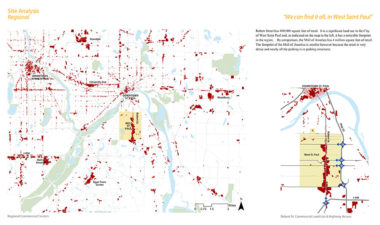
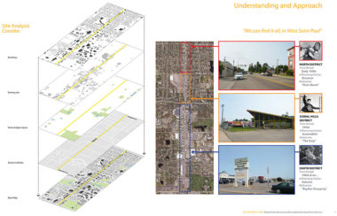
Robert Street is a significant commercial corridor for the Twin Cities region that also serves as the spine of West St. Paul, a suburban community in the southeast metro. The character of the street varies along its 2.5-mile length from small businesses along the narrower main street at the north end to the wide parking fields fronting big box retail at the south end. The corridor suffers from aging structures and outdated development patterns, leading to difficulties in attracting new and keeping businesses.
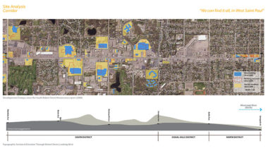
The first Robert Street Renaissance Plan, completed in 2000, made much-needed recommendations to improve the streetscape and establish a city center. The community is in the process of reconstructing the street to improve access and create a more attractive environment for all users. The City of West St. Paul called for an update to the previous plan that would take into account the changes since the economic recession, update the urban design guidelines, and develop corresponding form-based codes.
As the project manager on CGA’s planning and urban design team, I led the project interview and played a significant part in the first half of the project. I managed the initial mapping and analysis of the corridor, creating a comprehensive series of maps that explored the current environment and how the corridor had changed since the previous plan. I played a key role in the planning and leading of early steering committee meetings and public workshops. I developed corridor-wide frameworks and identified neighborhood identities. I also assisted in the development of initial corridor-wide design guidelines, including building orientation and set-backs, business access, and building materials.
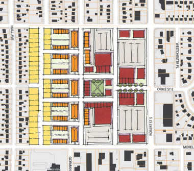
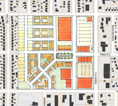
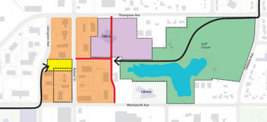
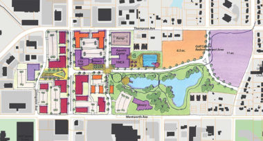
Initial discussions with the community identified three significant sites along the corridor that would be the focus of redevelopment and investment. For one of the sites, a struggling mall, I developed three alternative designs for the site that explored mixed-use development and produced the associated hand renderings. I also assisted in the development of land use alternatives for the town center area and hand-rendered several urban design alternatives.
Finally, I helped to solve an accessibility issue for the corridor: the city was wondering how and where on Robert Street to locate a regional bike path crossing. I researched the issue through precedent studies and analyzed the elevation of the area, putting together two section drawings that helped the community make a decision about whether a bridge or underpass crossing would be best.
